Export Selected Point Clouds(s)
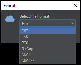
Various export format options:
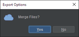
If multiple point clouds were select, the option to "Merge Files" point clouds into one:
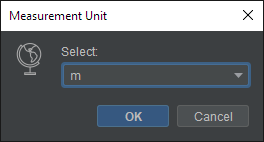
List of measurement units to convert to (default is m for meters):
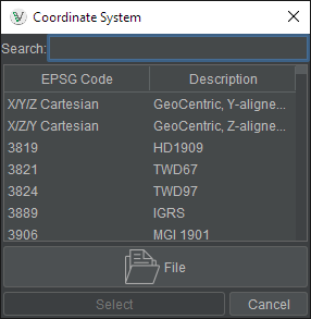
List of coordinates systems to convert to (X/Y/Z Cartesian default)
Select location of file(s) to be created.