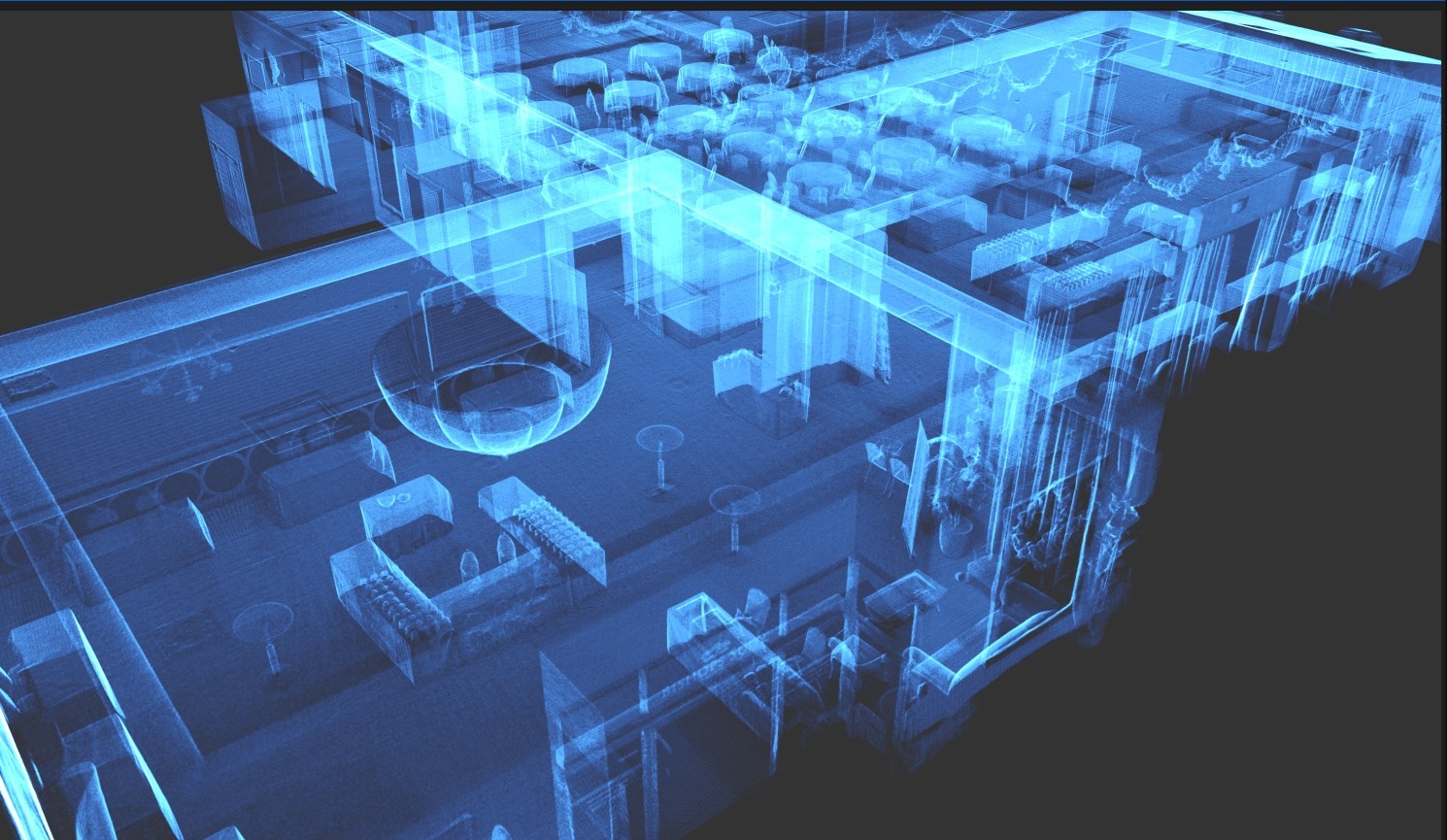
Total Spatial Freedom
Arena4D
High-performance spatial intelligence for combining, interrogating and communicating the most complex 3D environments — from operational analysis to court-ready evidence.
What Arena4D is
A desktop
application.
Arena4D is the 3D visualisation application your team installs on their own workstation. It brings every kind of Spatial 3D data into one environment, so a scene can be combined, measured and reconstructed without sending sensitive evidence into somebody else's cloud.
Runs where you work
Installed on your hardware or your secure infrastructure. Air-gapped deployments are supported for the most sensitive investigations.
Every data type in one view
Point Clouds, Gaussian Splats, BIM/IFC, CAD, floor plans, panoramas, terrain, GIS and 3D models, combined in a single scene.
Included with ECHO
Every ECHO system ships with an Arena4D licence on USB key, so captured data can be visualised and exploited straight away.
The software on screen
See it in action.
Real environments and real datasets — Point Clouds, Gaussian Splats, CAD and GIS combined in a single view.

Arena4D scene reconstruction with annotated actors01 / 06
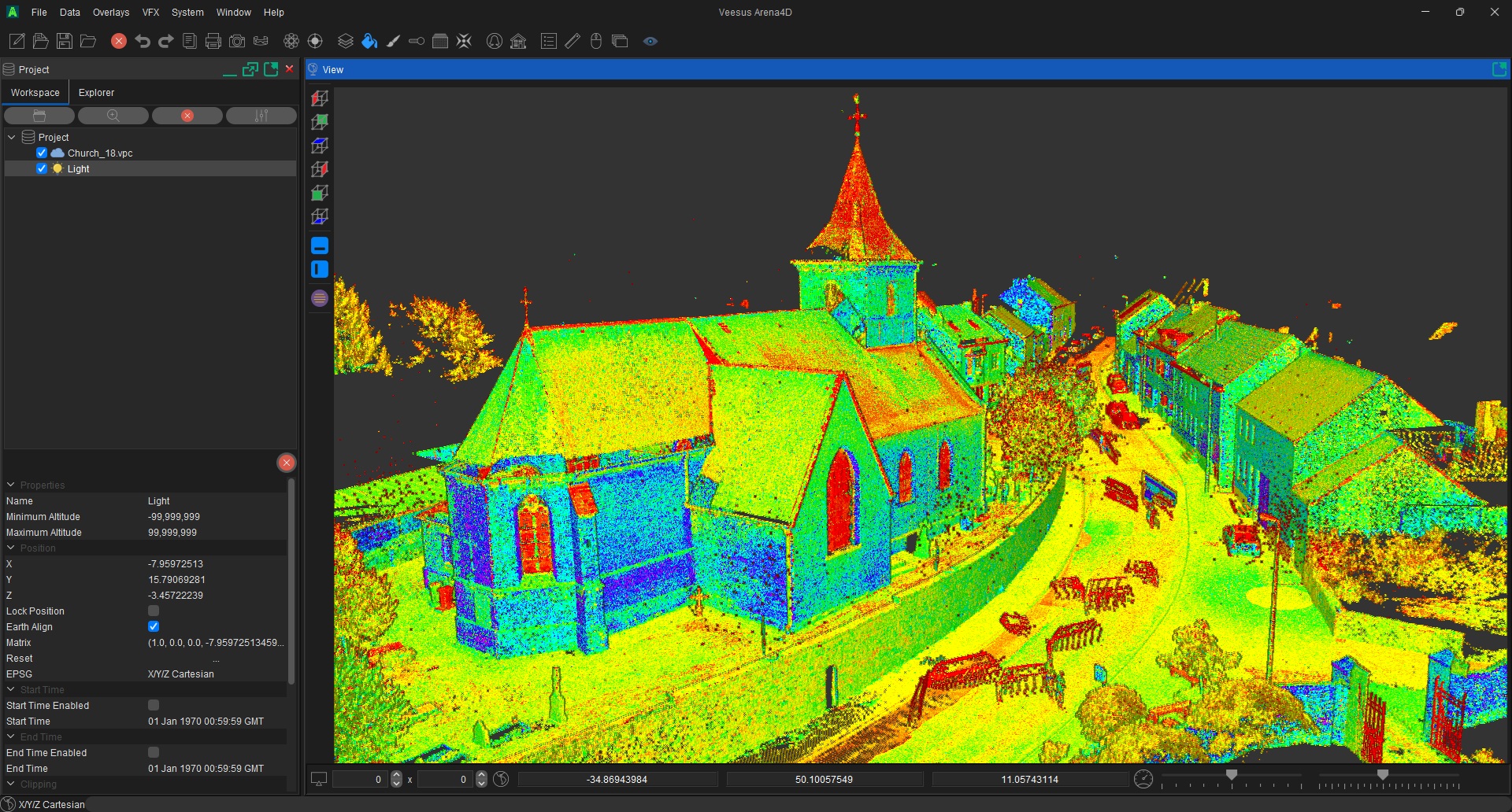
Arena4D combining Point Cloud, Gaussian Splat and CAD data in one view02 / 06

Arena4D measuring within a dense Point Cloud03 / 06

Arena4D visualising a complex Point Cloud dataset04 / 06

Arena4D GIS mapping and terrain integration05 / 06

Arena4D cinematic view ready for court presentation06 / 06
Operational analysis
Any source.
One environment.
Bring Point Clouds, Gaussian Splats, BIM, CAD, GIS, imagery and 3D models together without forcing sensitive data into somebody else's cloud.
Combine
Unify spatial evidence from different sensors, formats and teams.
Interrogate
Measure, compare and examine vast datasets at operational speed.
Reconstruct
Recreate viewpoints, events, trajectories and environmental conditions.
Communicate
Produce clear visual evidence for briefings, courts and command teams.
In active operational use
Built for the front line.
From first response to final hearing, Arena4D is in daily use across the services that keep the public safe.
Capabilities / 01—12
Tools that stand up in court.
Every capability below is in daily use by investigators reconstructing real incidents — measured, defensible and ready for disclosure.
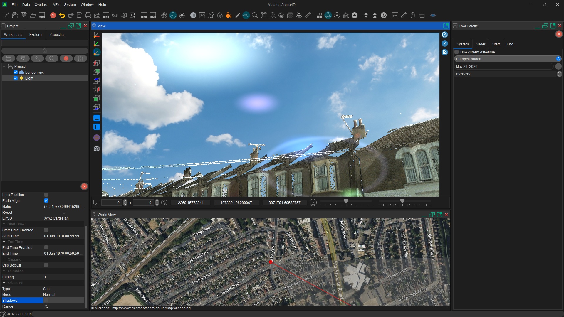
4D Data & Real-Time Lighting
Reproduce a scene at the exact date and time of an incident with physically based sun and shadow simulation.
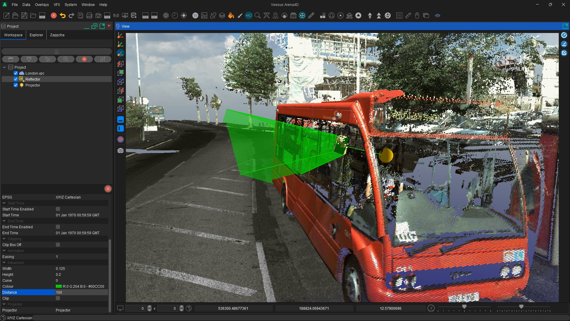
Reflector & Mirror Analysis
Determine exactly what is visible from a mirror, wing mirror or reflective surface from any chosen viewpoint.
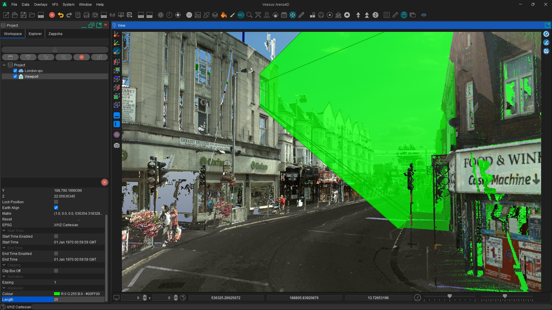
Field of View Through Windows
Show precisely what a witness could — or could not — see through a window, doorway or aperture.
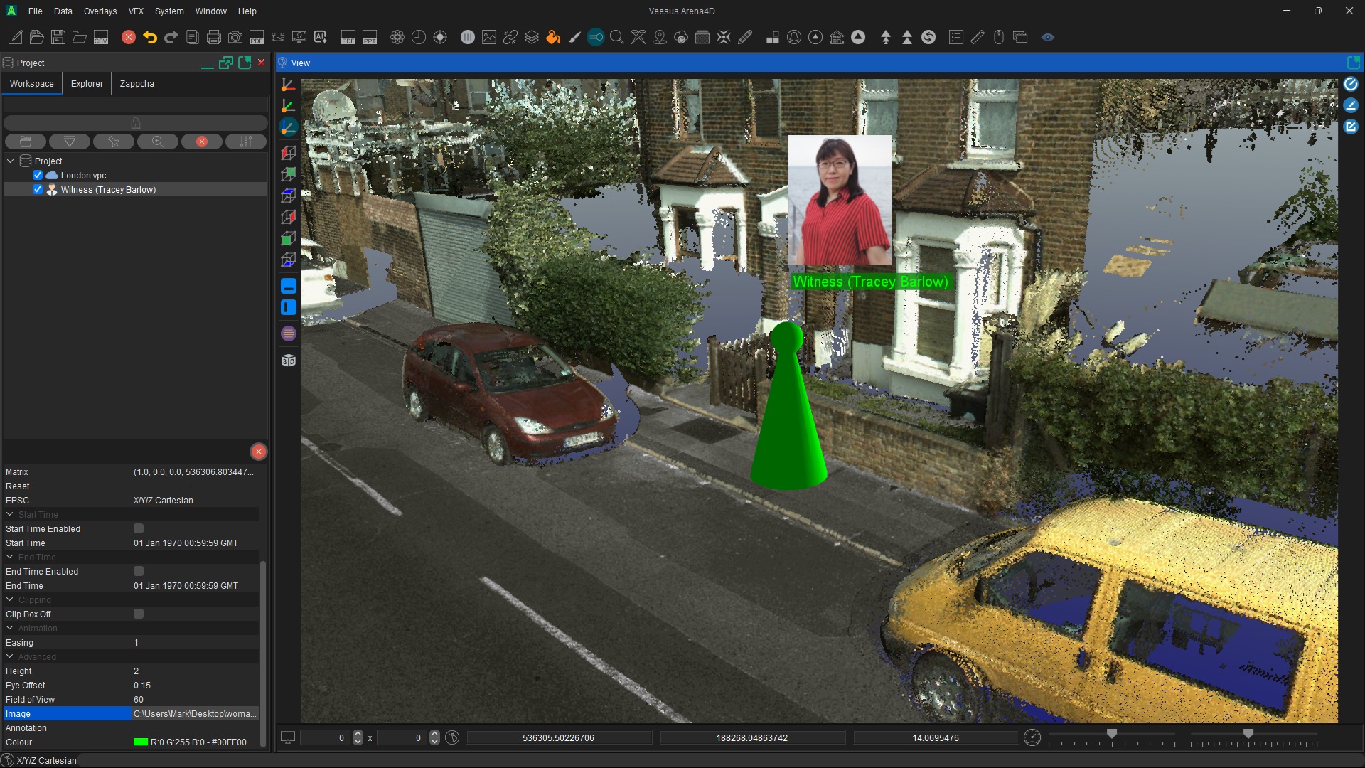
Identify Key People & Actors
Place suspects, witnesses, victims and officers into the scene with annotated 3D actors.
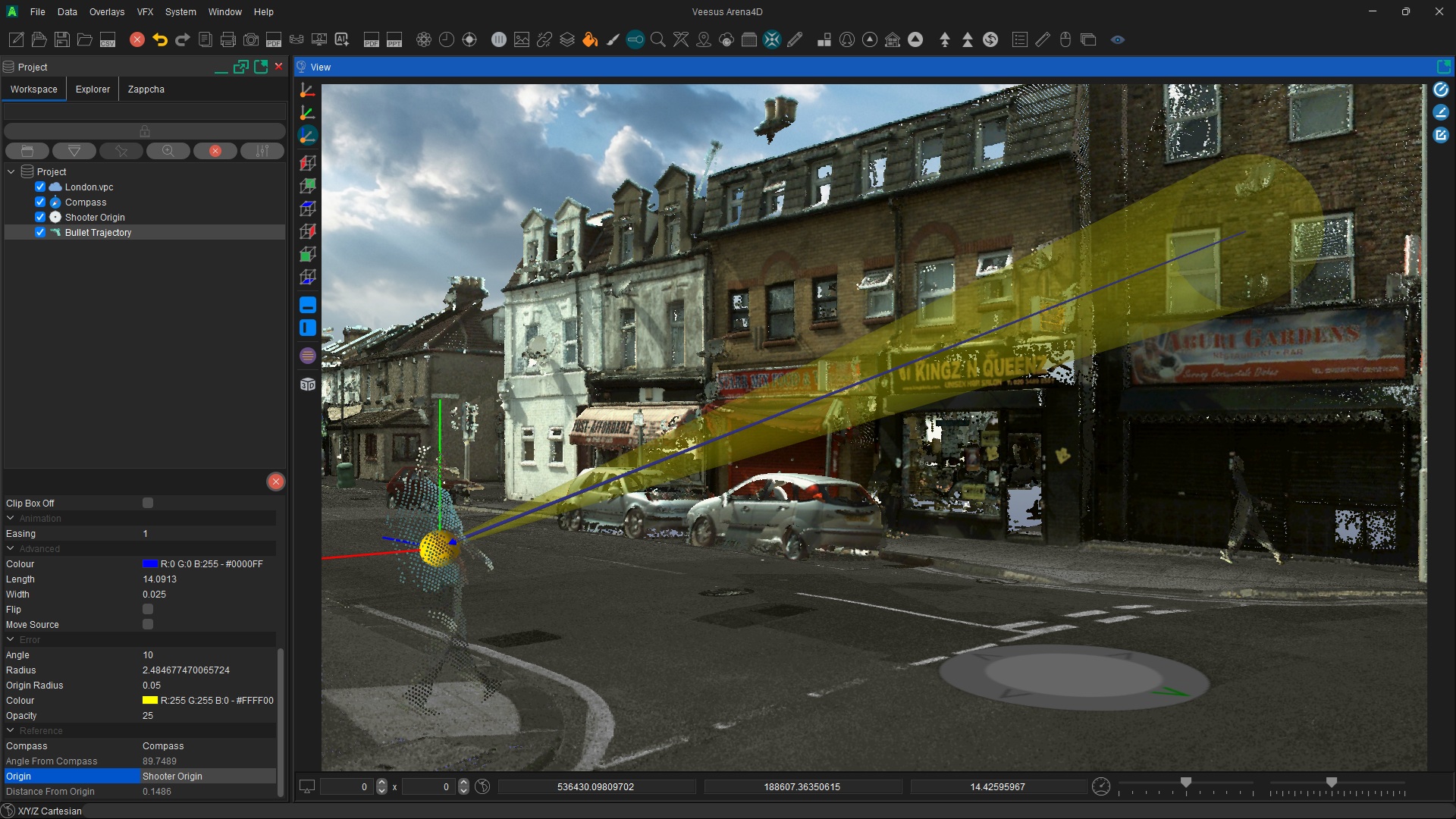
Bullet Trajectory Analysis
Trace where a bullet is likely to have originated using configurable trajectories with error cones.
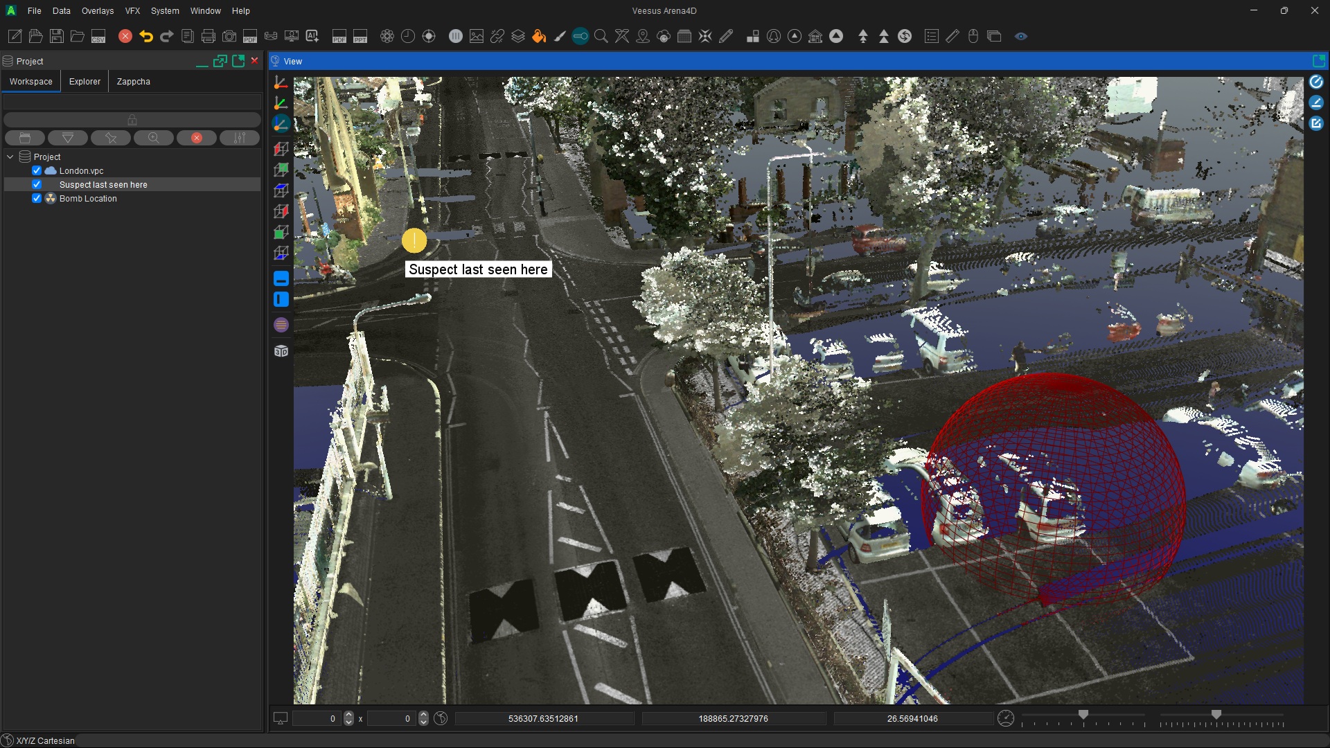
Events & Threat Dome Mapping
Mark out events, last-known locations and threat areas with annotated markers and spherical exclusion zones.
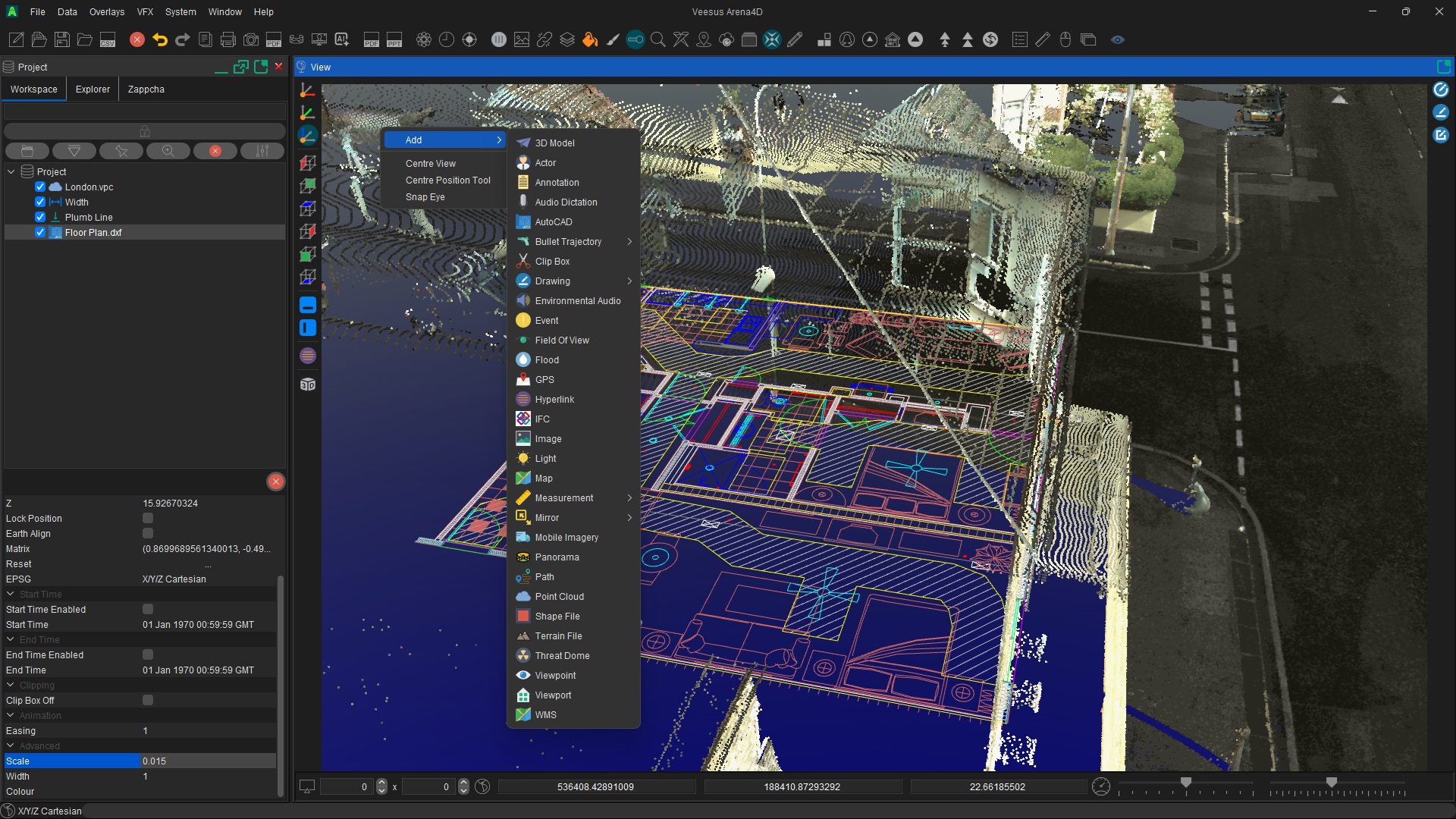
Combine Every Data Type
Bring Point Clouds, Gaussian Splats, BIM/IFC, AutoCAD, floor plans, panoramas, terrain, GIS and 3D models together.
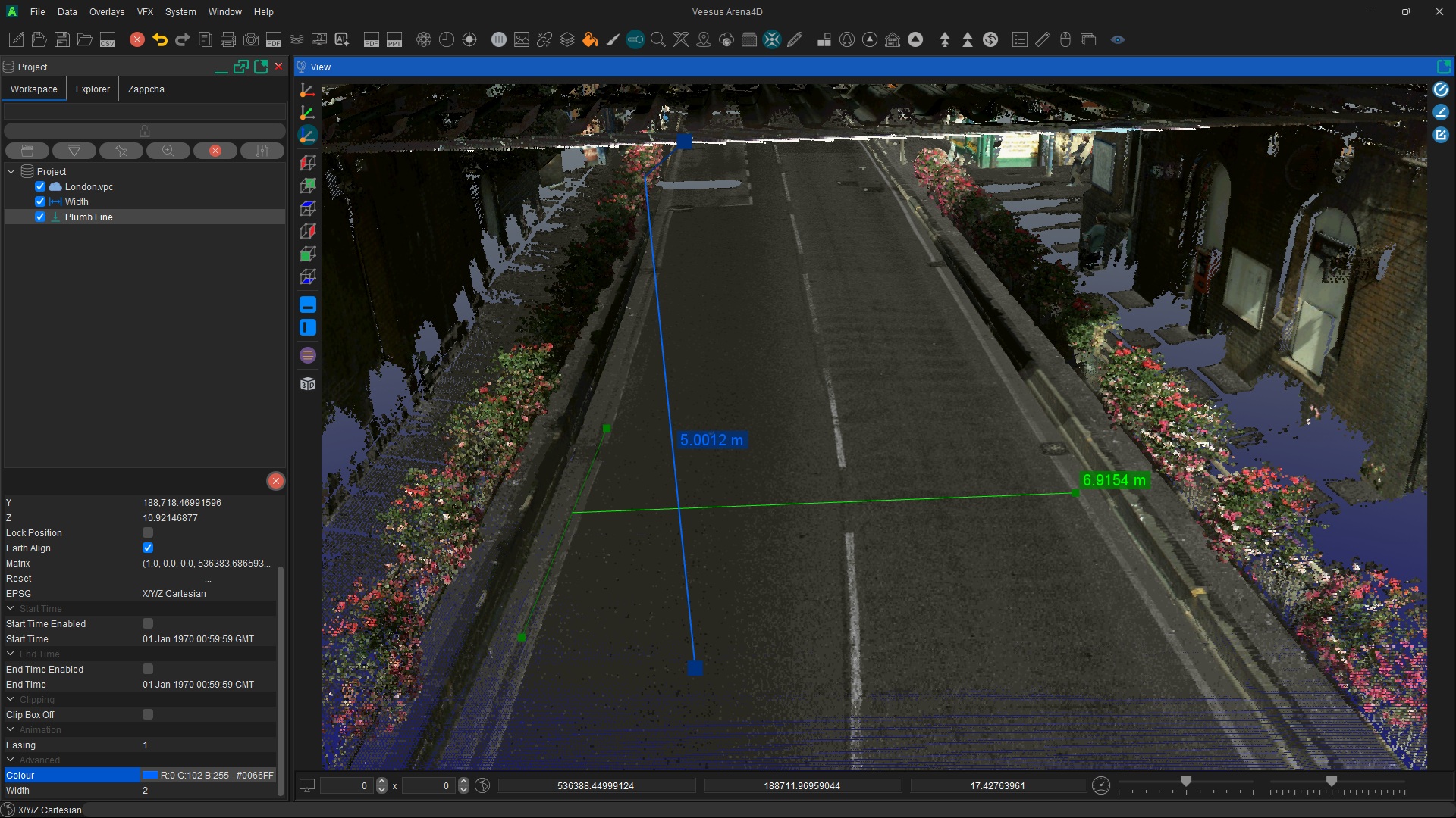
Accurate Height & Width Measurement
Measure heights, widths and distances reliably with plumb lines, width gauges and snapping tools.
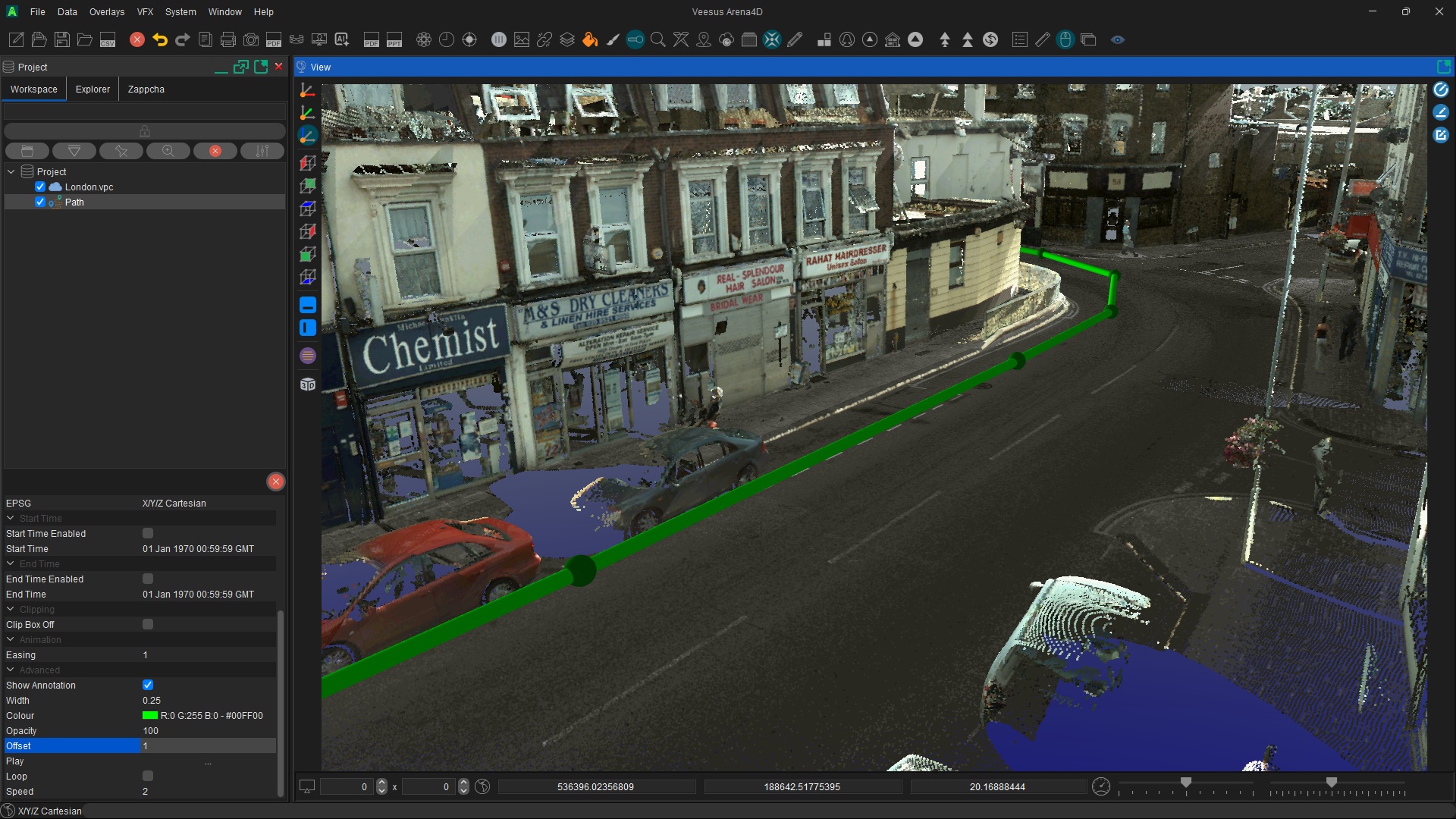
Paths, Vehicles & GPS Traces
Plot the movement of suspects, vehicles and officers, or import GPS traces and animate the timeline.
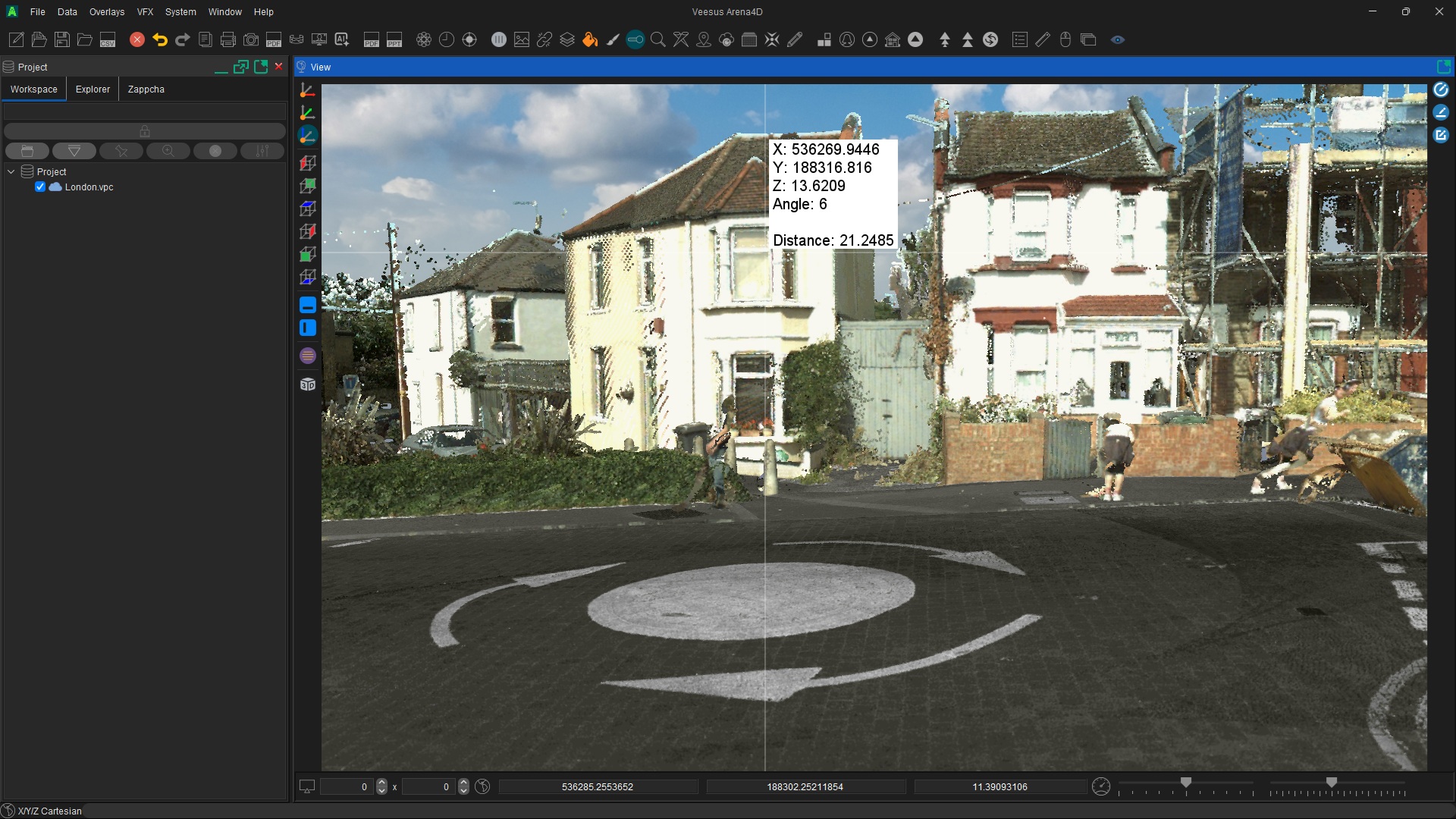
Witness & Suspect Point of View
Step into the eyes of a witness, suspect or officer from their exact position, eye height and field of view.
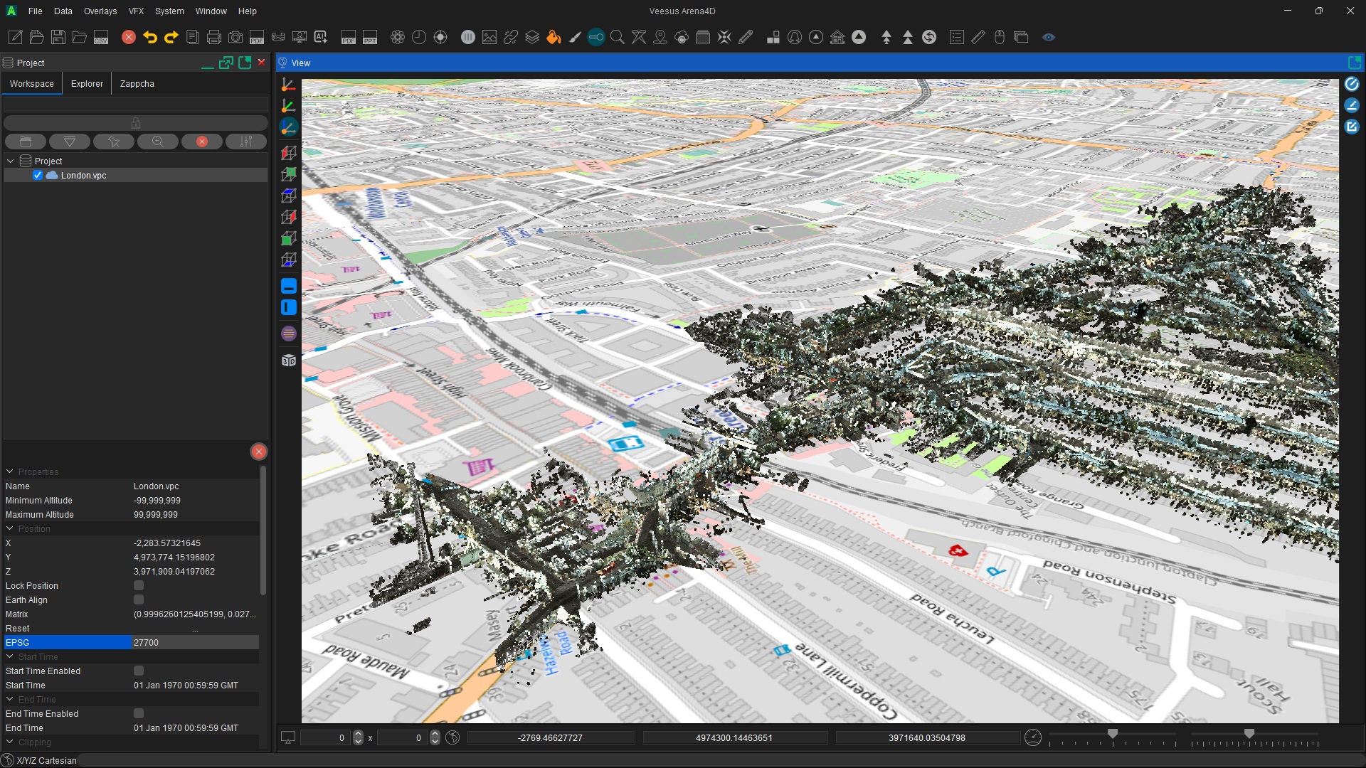
Full GIS, Mapping & Coordinate Support
Native EPSG coordinate systems, terrain, satellite imagery and WMS mapping — survey-grade and geolocated.
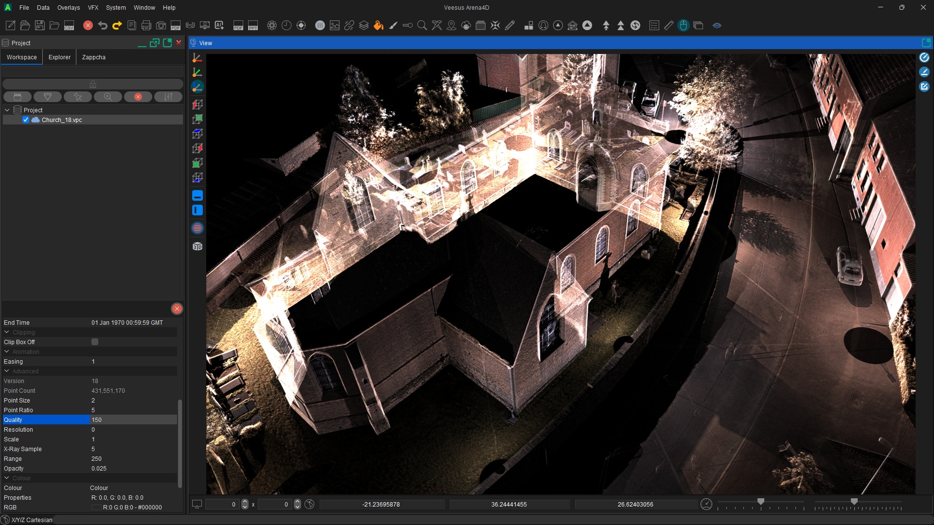
Cinematic Visuals for Court & Media
Produce still images and broadcast-quality video flythroughs ready for jury presentation and press briefings.
Arena4D Packages
Share the scene.
Take it to court.
Generate a self-contained Package — your entire project, every measurement, every actor, every annotation — exported as a portable read-only viewer.
Read-Only & Tamper-Evident
Recipients can navigate, measure and explore — but cannot alter the scene or evidence in any way.
No Licence Required
The recipient doesn't need Arena4D installed or a paid licence. Hand it over on a USB stick and it just runs.
Ideal for Court & Disclosure
Share with barristers, judges, juries or opposing counsel — confident every party sees the same defensible scene.
Single deliverable file
Incident-0427.package
Bundled inside
- Point Clouds
- Gaussian Splats
- 3D models, BIM & CAD
- Annotations
- Measurements
- Actors, paths & GPS traces
- Timeline & events
Opens on any Windows PC · No licence required
The explainer
What is a
Package?
A Package bundles your complete Arena4D project into a single deliverable that opens on any Windows computer. No Arena4D licence required to view it.
Hand it to a barrister, a judge, an investigator at another force or to opposing counsel. They can navigate the scene, take measurements and look from any viewpoint — but nothing can be modified.
Your Data. Your Rules.
On-premise by design.
Arena4D runs entirely on your hardware or your secure infrastructure. Sensitive evidence never has to leave your control. Air-gapped deployments supported for the most sensitive investigations.
Planning for incidents rather than investigating them? See how Veesus supports public safety, disaster planning and incident command, including Arena4U over constrained bandwidth links.
Total Spatial Freedom
No cloud dependency. No third-party data exposure. The organisations that need it most keep full control.
Request a briefing