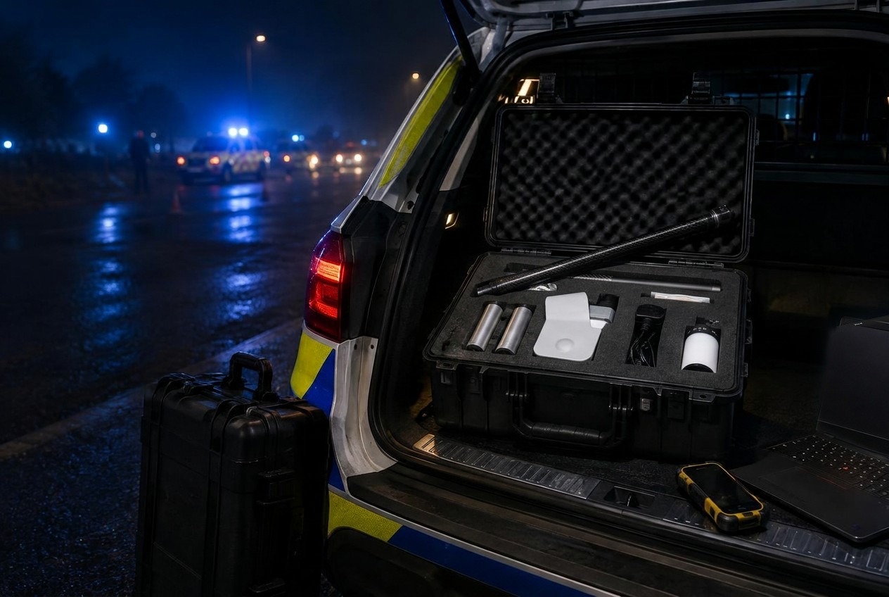
Spatial Intelligence
ECHO
A complete 3D capture platform engineered for results, whatever the environment.
System inventory / 08 modules
Ready when the team is.
No collection of loose components. ECHO is specified, integrated and tested as one operational system.
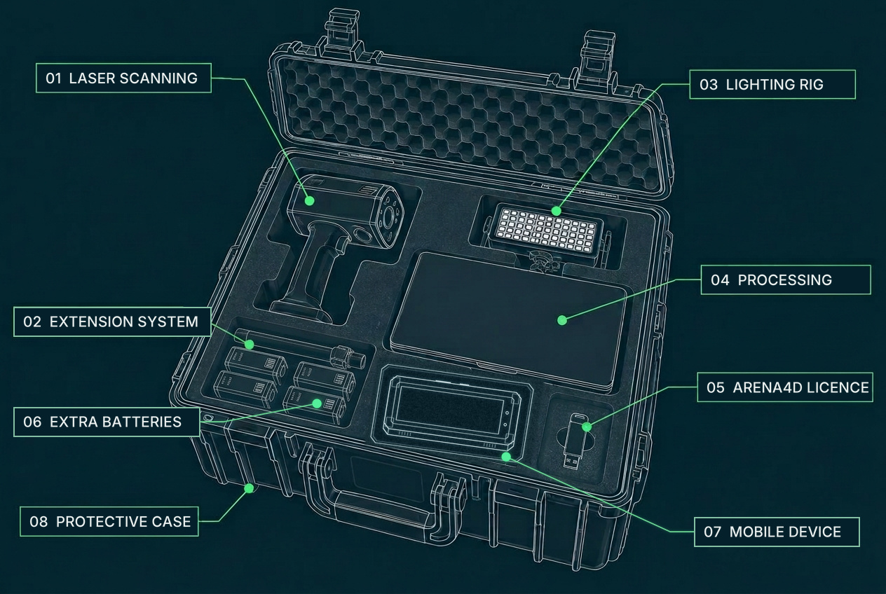
- 01
Laser scanning
Precise distance measurements form the geometry of your 3D environment. Every pulse of light that returns to the sensor becomes a measured point in space.
- 02
Extension system
Stable elevated capture without a complex field setup.
- 03
Lighting rig
Controlled illumination for difficult interiors and low-light scenes.
- 04
Rugged processing
Field processing and quality assurance before leaving the location.
- 05
Arena4D licence
Included as standard
A USB key that unlocks Arena4D — included as standard for visualising and exploiting everything ECHO captures.
- 06
Extra batteries
Spare packs for the system, so you're never left without power mid-capture.
- 07
Mobile device
Control of the capture with live visual feedback as the scene is recorded.
- 08
Pelicase integration
Protected, organised and ready to deploy as one complete system.
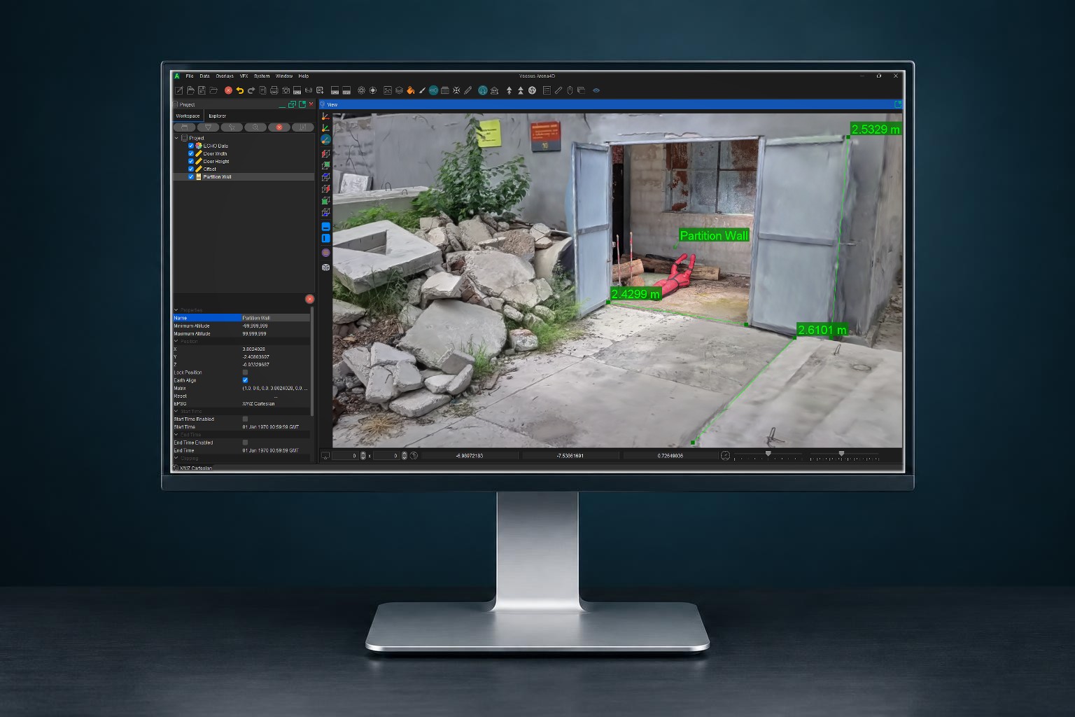
Arena4D included as standard
Every ECHO ships with an Arena4D licence on USB key — the secure environment for the visualisation and exploitation of the Spatial 3D data the system captures.
The output / Measurable Spatial 3D data
Digitise Reality
ECHO delivers a photorealistic record of the real environment — dimensionally accurate, so teams can take measurements, cut sections, annotate evidence and navigate the scene long after leaving site.
- Millimetre-level measurement
- Photorealistic immersive scene
- Sections, plans and annotation
- Shareable to any device
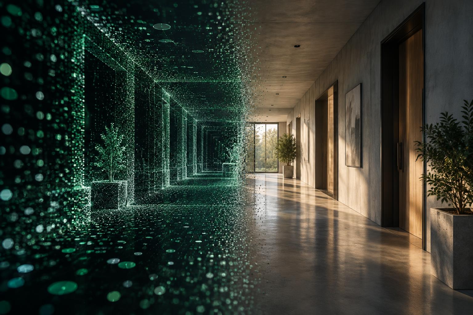
The technology / Gaussian Splatting
Numbers become
a place.
A Gaussian Splat is a way of turning a captured environment into a picture you can move through. Rather than flat photographs or a hand-built model, the scene is rebuilt from millions of tiny, softly coloured points of light. Each one knows where it sits, how large it is and what colour it is; seen together, they blend into a smooth, photorealistic view of the real place.
No specialist knowledge is needed to look at it. If you can navigate a map on your phone, you can walk through a site that was captured weeks ago.
ECHO / Beyond measurement
ECHO does more than record accurate laser measurements. It also generates a photorealistic view of the environment through the use of Gaussian Splats — perfect for planning, orientation and training.
Planning
Walk a route, check access and rehearse a deployment before anyone is committed to site.
Orientation
Give a team a true feel for a layout — entrances, corridors and sightlines — before they arrive.
Training
Return to a real environment as often as needed, without taking it out of service.
The technology / Laser scanning
Light becomes
measurement.
Laser scanning — also known as LiDAR — measures the distance to surfaces using pulses of light. By timing each pulse as it travels out and returns, the sensor calculates how far away a wall, floor or object is.
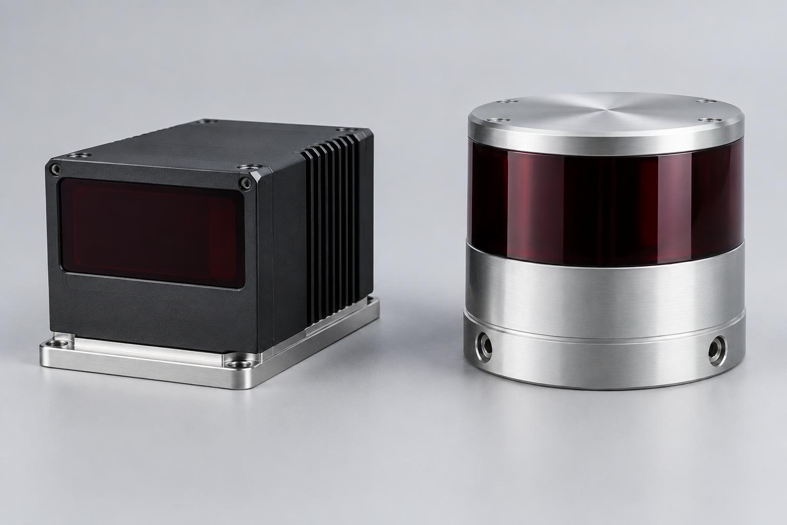
Repeated across the environment, these measurements build a dense three-dimensional record of its shape. Solid-state and rotating multi-beam sensor heads provide different ways of collecting those measurements; the sensor is selected around the task.
Measure distance
Laser pulses reflect from surfaces. Their return time gives a distance; the beam direction places that measurement in 3D space.
Build the geometry
As you move, SLAM — simultaneous localisation and mapping — tracks the scanner’s position and aligns successive measurements into one coherent 3D model.
Add the real-world detail
Camera imagery can add colour and visual context to the measured geometry, helping teams recognise, explore and interrogate the captured environment.