Emergency Services & Disaster Planning
Know the building. Before you go in.
3D capture, planning and command software for fire and rescue, police, ambulance, resilience teams and emergency planning units — built to work on the network you actually have.
Evidence stays in your evidence room.
Where it is used
From planning to the debrief.
The same 3D capture serves the whole lifecycle of an incident. Scan once, and the data works for pre-planning, live response, recovery, training and — if it goes that far — court.
Pre-incident planning
Scan stations, stadiums, hospitals, schools, tunnels and industrial sites before anything happens. Crews walk the building in 3D, find the risers, the isolation valves and the dead ends, and plan an approach without another site visit.
Live incident command
Give the commander the real building, not a fire plan drawn in 1998. Measure a stand-off distance, check a roof pitch, or look from a window before anyone is committed to the risk area.
Disaster planning and resilience
Model flood, collapse, evacuation and cordon scenarios against an accurate capture of the real environment. Rehearse the plan in 3D, then reuse the same data for the multi-agency exercise.
Multi-agency response
Police, fire, ambulance, local authority and utilities all looking at one shared 3D scene — with each organisation's data staying inside its own governance boundary.
Training and debrief
Run scenarios in a real, measured environment. Replay the incident, show what a crew could actually see from a given position, and turn the debrief into evidence-grade learning.
Recovery and damage assessment
Capture the site immediately afterwards, compare it to the pre-incident scan and quantify what has changed — structurally, geographically and in insurable terms.
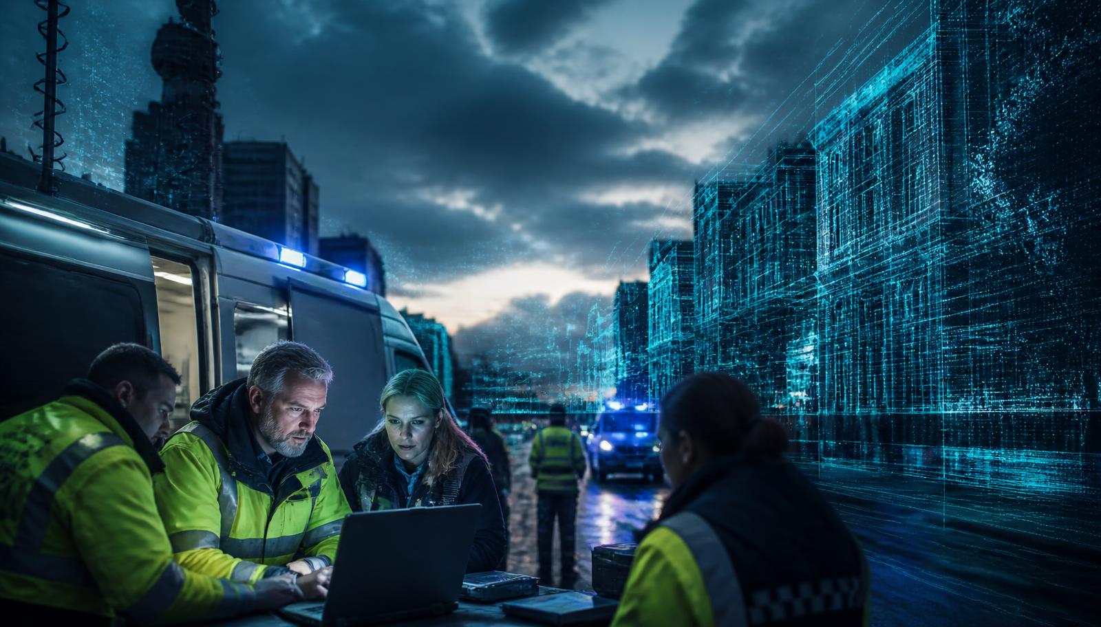
Command and control, live
The incident ground, streamed to the command unit as it happens.
Complex 3D data. Down a thin pipe.
The hardest problem in command and control is not capturing the scene — it is getting it to the people who need it, over whatever link is available at the time. Arena4U was built for exactly that.
Streams, never downloads
Arena4WEB streams only the points needed for the current view at the current zoom. A multi-billion-point city capture opens in seconds on a 4G tether — nobody waits for a 40 GB file.
Built for the worst link you have
Satellite backhaul, a congested cell mast, a mobile command vehicle at the edge of coverage. The viewer degrades gracefully: fewer points, still measurable, still usable.
The server is yours
Arena4U installs inside your own network or private tenancy. The heavy lifting happens on your hardware, close to your data, under your information assurance regime.
Runs fully air-gapped
No outbound connection required. Deploy Arena4U on an isolated network or into a mobile command unit and it behaves exactly the same way.
Stream the scenario to any device on your network
Arena4U hosts every scenario you build — Point Clouds, Gaussian Splats, BIM and CAD models, imagery, floor plans, GIS layers, documents and video — and serves it through Arena4WEB over even the most constrained network. Mobile phones, tablets, laptops and command screens all open the same live scene in a standard browser. Nothing to install, no app store, no licence to issue, and no data leaves your estate.
The rest of the chain
Capture it. Command it. Defend it.
In the field
XGRIDS scanners
Walk a station, a stadium or a scene and capture it in a single pass. Processing happens on the device, so no connectivity is needed and nothing is uploaded to a third party.
See the scannersOn the desktop
Arena4D - Public Safety Edition
Reconstruct the incident with time-accurate lighting, line-of-sight analysis, actors, paths and measurement — then export a licence-free Package for disclosure or court.
Public Safety EditionAcross the organisation
Arena4U
Your own 3D platform, on your own servers, serving every scene to every authorised user over whatever bandwidth they have.
Explore Arena4UProcurement-friendly, sovereignty-first
UK company, UK support, fixed and predictable costs, and software that runs entirely inside your own infrastructure. No per-gigabyte cloud charges, no vendor holding your evidence, no surprise renewal.
Ready for Spatial Freedom?
No compromises. No lock-in. No hidden costs. Join professionals worldwide who trust Veesus as their reality capture partner.
Get Started Free